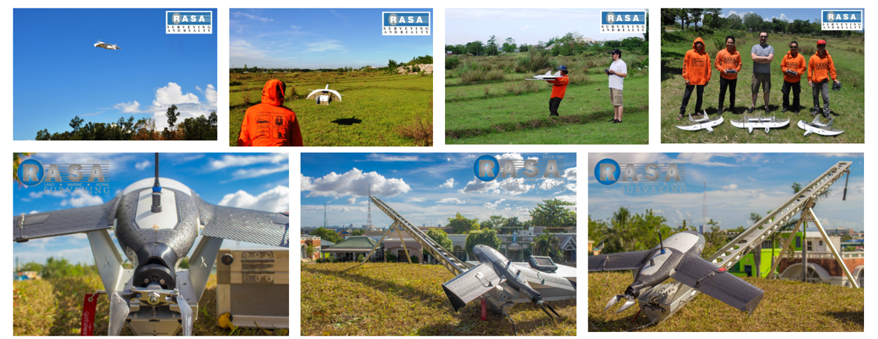
UAV Aerial Drone Mapping Solution in Philippines
We take mapping to a new level and beyond limitation
RASA Survey require the highest accuracy and work more efficiently to set a new standard in mapping and surveying by combining a robust and highly user-friendly system with a custom-designed camera that offers the most impressive survey by using the Unmanned Aerial Vehicle (“UAV”) or aerial drone mapping in the Philippines.
Our Aerial Drone Mapping Professionals have been undergoing vigorous training locally and internationally to provide accurate quality aerial drone mapping operation from Metro Manila to different provinces in the Philippines.